Stands & wind
Every stand, ranked by the wind.
Give each stand the winds it hunts. DECOHunt tells you which one fits each sit, and shows where your scent goes.
Get the beta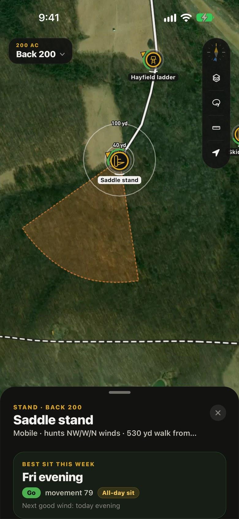
The scent cone
Turn the wind. Watch the cone.
The kill plot stand from the plan hunts NW, W and N. On those winds its scent drifts into the open south woods, away from both bedding areas.
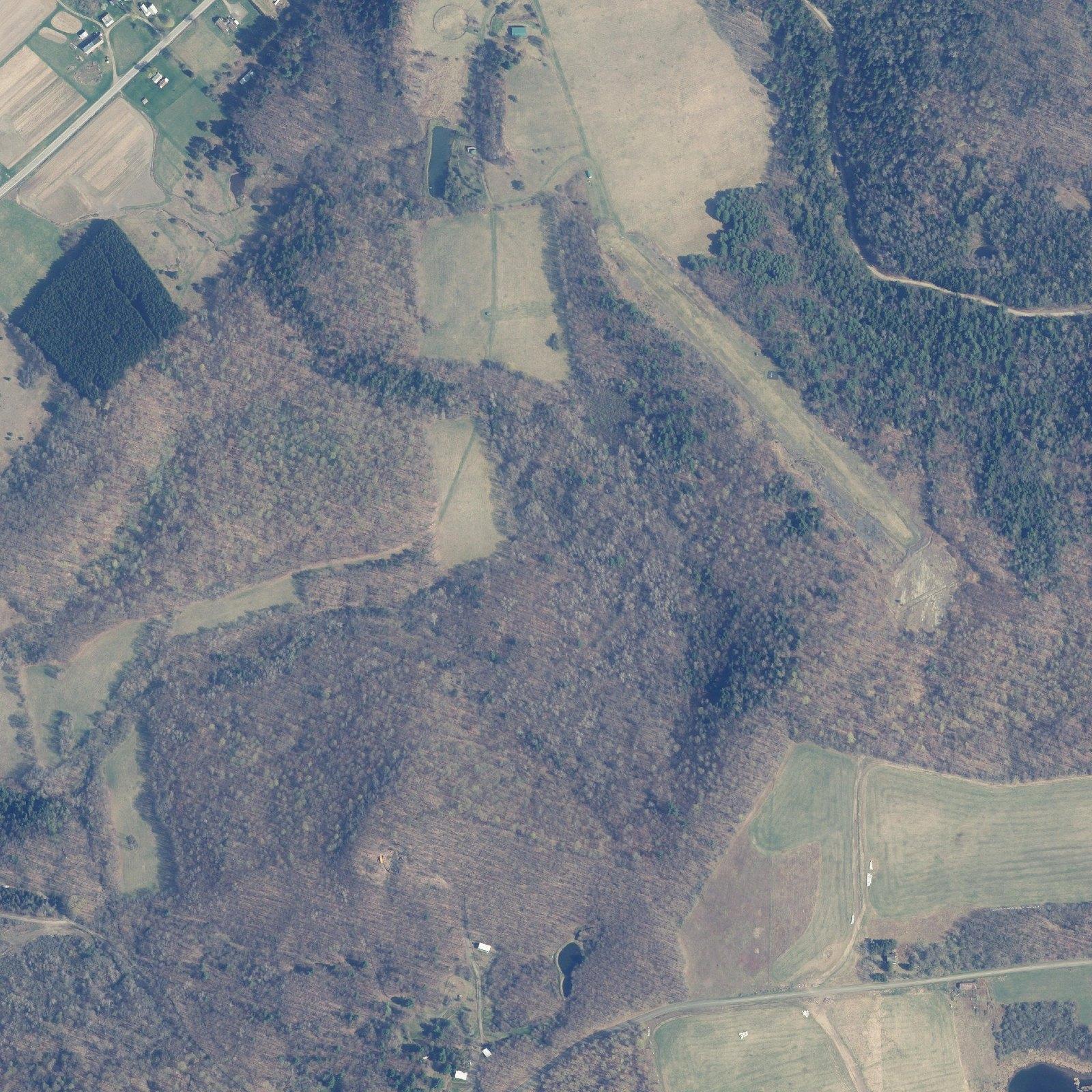
Good wind · W scent drifts E
Kill plot corner
Hunts NW · W · N
Rings: 20 · 30 · 40 yd
Leaf-off: NYS ITS orthoimagery. The stand and its winds are from the plan on the home page.
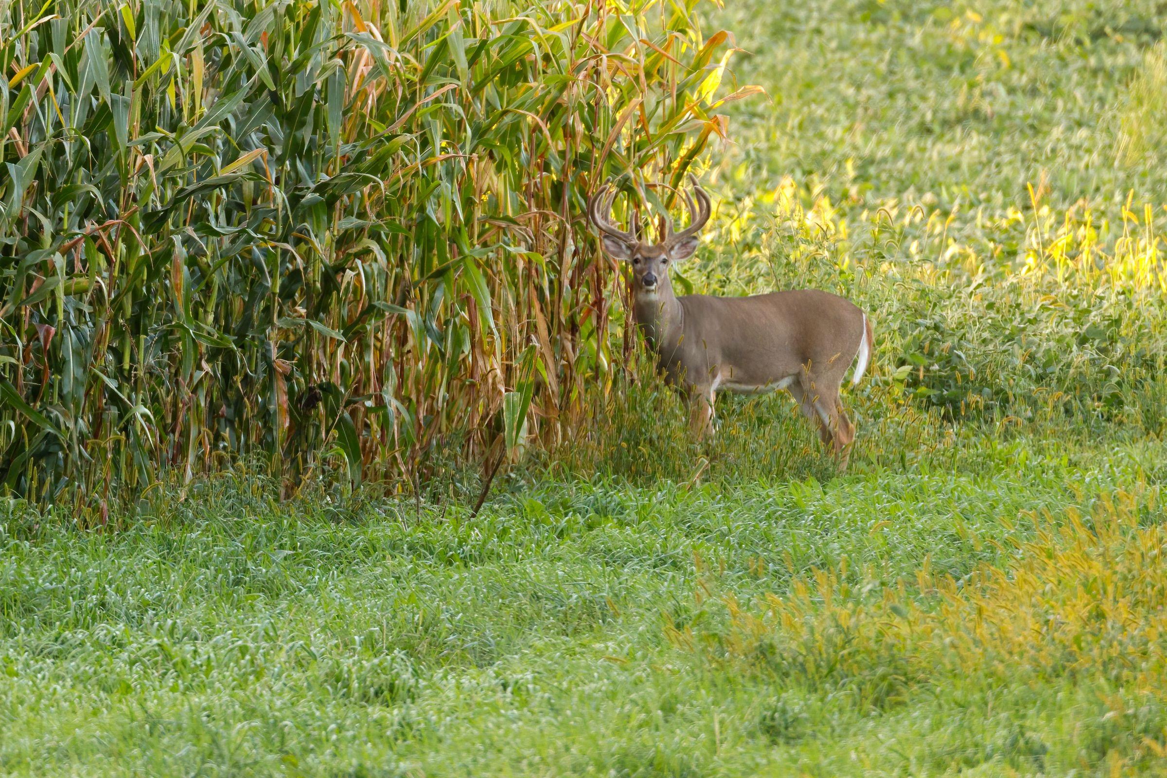
One wrong wind and he’s gone.
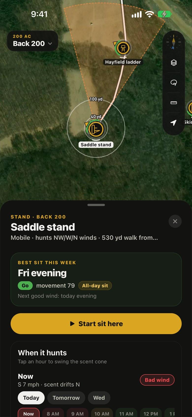
The stand’s card
The answer first.
Tap a stand and its card opens with the best sit this week, then Start sit, then when the wind fits by the hour. Tap an hour to swing the cone. Its record and setup fold away below.
Hunt log
Every sit, with the wind it started in.
Start sit
Saves the time, the hour’s wind and weather, and DecoCast’s movement.
Saw deer
Tap where they were, then along the way they went. The path shows on the map with arrows.
End sit
Harvest and notes. The AI reads the log: deer seen and bucks per stand, by wind, this rut phase.
How stands work
- Fixed or mobile
- Set each stand or blind as fixed or mobile; the icon follows. Mid-season, the AI may suggest a mobile saddle set, never a ladder or blind.
- The cone
- It points downwind for the hour picked on the stand’s card, from DecoCast’s hourly wind. In light air it’s wider and shorter. The map never moves to show it.
- Rings
- 20, 30 and 40 yards for the bow; 100 and 200 for the gun; both if you hunt both.
- Walks
- Stands show the walk from parking, and access routes show their length on the map.