Land & maps
Know whose ground it is.
Public land in every state with hunting units, property lines and owners in 18 states, and four ways to see the ground. All of it offline.
Get the betaBase maps
Four maps of the same ground.
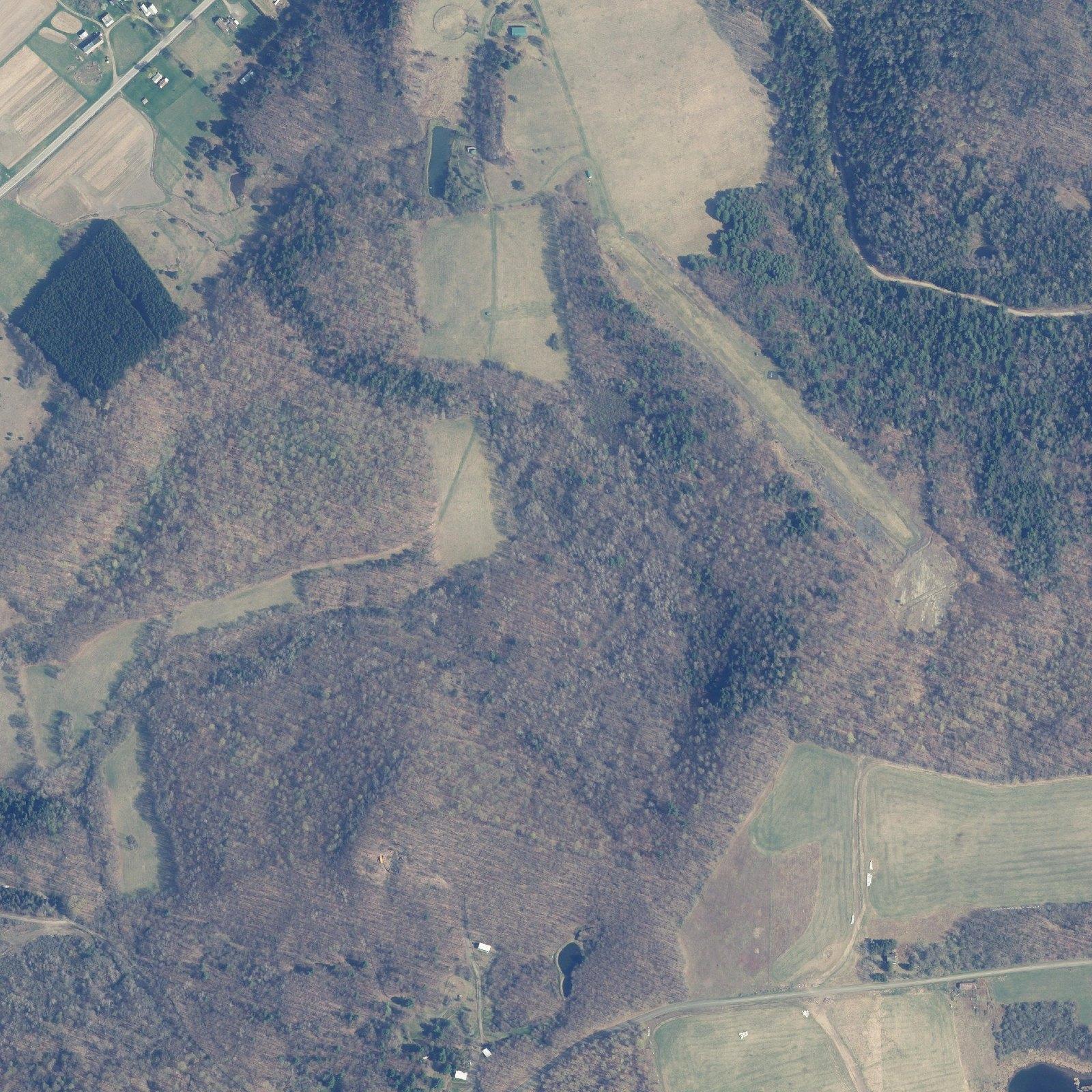
The same 200 acres in spring, in summer, from the satellite and as bare earth.
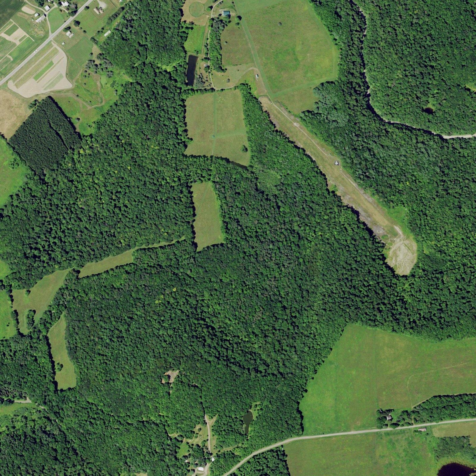
Leaf-on. USDA NAIP summer photos, every state in the lower 48. For the day the satellite has clouds.
Leaf-off. New York’s spring orthophotos, leaves down. Conifers and cover jump out.
Same 200 acres. Satellite: Mapbox, Maxar. Leaf-off: NYS ITS. Leaf-on: USDA NAIP. LiDAR: USGS 3DEP.
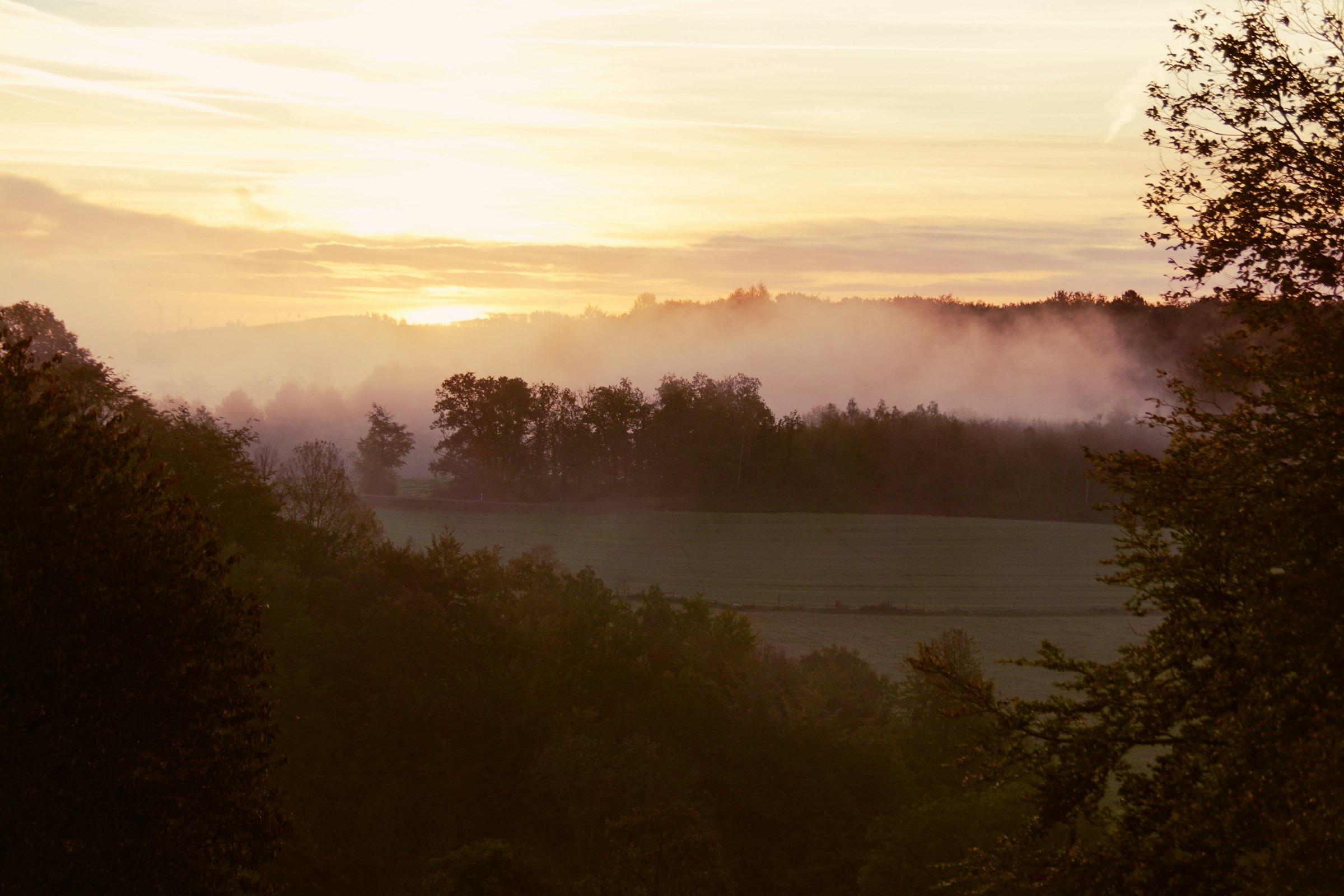
Know the ground before you walk it.
Public land
Tap it. Know the rules.
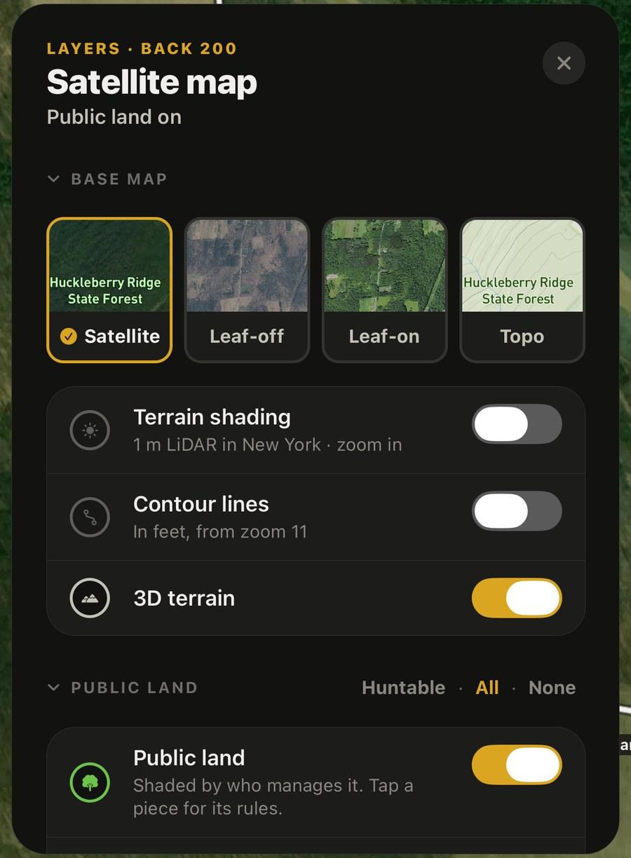
Public land is shaded by who manages it and named once per unit; no-hunt ground is hatched red. Tap a piece for its name, manager, acres, access, hunting unit and the official page. In New York: State Forests, WMAs, Forest Preserve, easements, NYC watershed land and Cooperative Hunting Areas, with key facts (stands, vehicles, camping, permits).
- Make my hunt area from a unit in one tap
- A buzz when you walk off public land
- Shading you can turn down so the photo shows
Private land
Lines, owners, and who said yes.
Property lines from county tax maps, thin and unfilled. Tap a parcel for the owner, acres, use and the owner’s mailing address, so you can ask. Track the answer: Asked, Yes, No, Call back. Or tap “This is my land” to make it your property line.
18 states with parcels
- New York (every county outside NYC)
- West Virginia
- Arkansas
- New Jersey (owner names withheld by NJ law)
- Colorado (counties that share data)
- Montana
- Massachusetts
- North Carolina
- Florida
- Wisconsin
- Connecticut
- Vermont
- Minnesota (59 of 87 counties)
- North Dakota
- Maine (organized towns that share data)
- Mississippi
- Texas
- Ohio
No signal
Offline is normal.
Downloads your ground
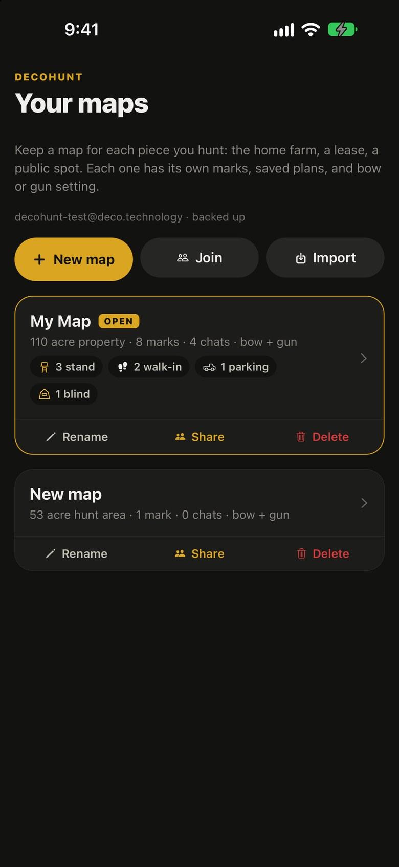
A map saves its property line or hunt area plus a half mile: satellite, aerials, topo, LiDAR shading, public land and the forecast.
Brings your marks in
GPX, KML, KMZ and GeoJSON from onX, Gaia, CalTopo, BaseMap, Garmin and Google Earth, from the share sheet.
Lets you leave
Export your marks as GPX or everything as a backup file, any time.